|
Trail Advice/Overview:
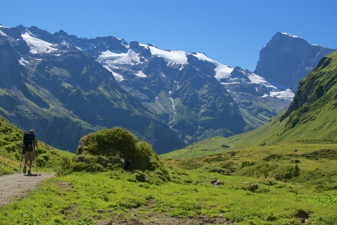
The Alpine Pass Route (APR) is a wonderland of chocolate box mountain scenery covering almost 330 km of trail over stunning mountain passes, quant villages, and pristine valleys. The timeless landscape is an alpine lovers dream and for many, a piece of heaven. Starting in Sargans - Montreux (east to west route) the trail passes through several cantons & districts with some of the most beautiful landscapes in the world. The timeless Swiss Alps are a backdrop for the many sights & sounds including cows grazing in lush meadows with their bells ringing at every turn, alpine flora, quant villages, unique architecture, and family farms that captivate the senses. Walking the entire Alpine Pass Route takes around 15-22 days depending on your pace and rest days. It is not easy walking coasting through gently rolling valleys, rather crosses 16 mountain passes with typical days covering an average of 20-30 km climbing up steep passes gaining 1000 meters height , before descending the same or even more elevation. Hiking this trail is hard work, and quite steep, so being in proper shape & carrying a light load is imperative for success. Fortunately there are many options for transportation on the trail that make the long and steep stages a bit shorter. Here is some advice: Language: Although English is spoken in the the more touristed villages and towns, especially in the Bernese Oberland, many local Swiss speak only Swiss German, Italian, or French and there can be a language barrier in the smaller towns and especially the villages & hamlets in eastern Switzerland. Knowing some key phrases and words can be helpful in booking accommodation, ordering food, or asking for directions. The language changes from Swiss German to French past Kandersteg. Trail Markers: The Alpine Pass route (Via Alpina) is marked with red & white trail blazes, however you can walk quite a ways before noticing a blaze. Also, some less populated sections of the trail lack trail blazes, so make sure you bring a proper guide book, compass GPS, and/or map. Make sure you follow directions in your guidebook as routes change. Also, be sure to bring a map or type in coordinates to a GPS. We have used and recommend Swiss Topo maps for the following regions from Sargans - Murren: (Sardona, Klausenpass, Stans, Sustenpass, Jungfrau Region, Berner Oberland) To order maps for the APR click on the following link: http://www.swisstopo.admin.ch/internet/swisstopo/en/home/products/maps.html Postbuses/Trains: Unless you are a purest, transportation is available to cut off difficult & steep stages of the trail. Remember, sections in between towns can be quite long so using transportation can be the difference between accomplishment & exhaustion. Certain stages such as Altdorf/Attinghausen - Brusti & Lauterbrunnen - Murren are steep and quite difficult. Taking post buses or other forms of transportation can cut hours off your already long days and save your knees. Wild Camping: Technically wild camping is illegal in Switzerland and campsites are available in most towns however, if you want to "wild camp" you will most likely be doing so in somebody's field. Always ask the farmer who owns the field and they will most likely say yes. Remember to leave no trace. Costs: Switzerland's astounding beauty is matched by the high cost of living. Everything costs a bit more like dining, lodging, transportation, clothing, and miscellaneous items. We found going to Co-Op (Grocery Stores) or local butcher's and cheese vendors to purchase meats, veggies, bread, and chocolate saved us a lot more money then eating out for every meal. When picking lodging, see if your hotel or hostel has a kitchen where you can cook meals. For two people, including lodging plan on spending around $175-$200 minimum per day including all meals, lodging, and a post bus ride. |

